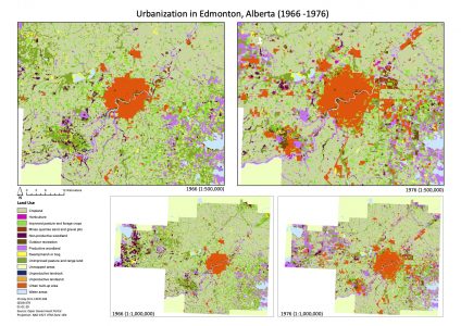
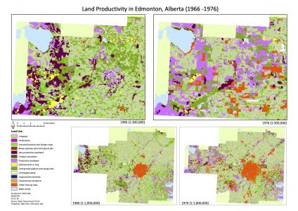
In this lab, we explored how the landscape around Edmonton, Alberta has changed over time from 1966 to 1976. Areas with increasing populations are experiencing drastic land-use changes. Some noticeable changes within the period between 1966 and 1976 were the urbanization of land and increased land productivity. We did this by examining some fragstats metrics and by creating a transition matrix that shows the transformation of land uses over time. We looked at the same class metrics (Total Area, Percentage of Landscape, Number of Patches, Total Edge) and landscape metrics ( Number of Patches, Patch Density, Shannon’s Diversity Index, Shannon’s Evenness Index).
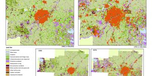
Land use is constantly changing as a result of human activities. As seen in the map, between the 10 year period from 1966 to 1976, there has been significant growth in urban areas and productivity of land uses. However, due to the increase in urbanization and land productivity, there has been a significant decrease in agricultural land and other natural areas. A decrease in cropland and horticulture could affect food systems and influence the quality of agricultural land as Hansen stated in his article. This drastic change within a decade is alarming because the rapid growth in development could become problematic in the long term.
Learning Significance